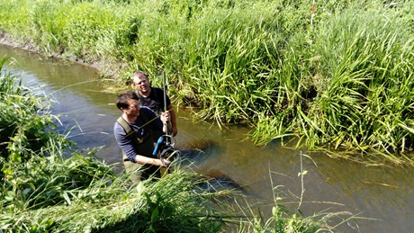
Applications
Riverscapes develops monitoring and decision support solutions based on the data collected with the UAV payloads. We target the following 5 main areas:
- Hydrometry of rivers and streams - water surface elevation, water surface velocity, bathymetry and discharge.
- River maintenance and conveyance control
- Informing hydrodynamic simulation models
- Mapping of surface water extent and flooding patterns
- Mapping and assessing the ecological status of rivers and streams
- Assessing the impact of contaminated sites on rivers and streams